
Press Release
WEDNESDAY, JUNE 20,2018 –
Start Date: June 4, 2018 Size: 14,684 acres
Percent Contained: 49% Helicopters: 6
Engines: 21 Crews: 15
Total Personnel: 583
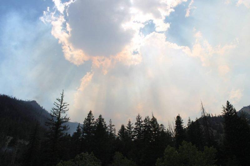
Summary: The Trail Mountain Fire is 49% contained. This containment includes most of the southern boundary and sections of the east and west boundaries of the fire. In contained areas crews are patrolling and looking for any remaining hot spots. They are also beginning some remediation work such as removing hazardous trees, clearing roads, chipping cut vegetation, and building structures to manage runoff and sediment.
The most recent fire activity has been in the northwest corner near East Mountain Ridge and the head of Mill Fork Canyon. A combination of fireline, intentionally burned areas, natural barriers, and green aspen stands will be used to contain the fire in this area. Crews have built fireline on top of East Mountain and have been burning from this line above Mill Fork and Crandall Canyon. They will continue burning today after careful planning and during times of the day with favorable weather.
This burning has created fire that is slowly backing downslope and reducing vegetation available for the main fire. This tactic will prevent the fire from burning more severely and quickly racing uphill which is more difficult and more dangerous for firefighters.
Yesterday, two fire engines worked on the Straight Canyon Fire which was detected on Monday. The fire was located northeast of Joes Valley Reservoir, about 4 miles southwest of the Trail Mountain Fire. Last night the engines and crew members returned to work on the Trail Mountain Fire and management of the fire was returned to the Manti-La Sal National Forest.
As containment increases, the Incident Management Team is working with cooperators, agencies, and other organizations in the field to facilitate a return to normal business and services.
Closures: The Manti-La Sal National Forest has an area closure in effect around the fire. See a map and description of the area at: https://inciweb.nwcg.gov/incident/maps/5830. Horse Canyon Trailhead, Indian Creek Campground, Little Bear Campground, Lower Little Bear Campground, and Riverside Campsite are closed. Highway 31 is open, but please drive with caution.